
Saco Watershed Story Map
Source water protection is a priority of the Saco Watershed Collaborative. The Saco River provides drinking water for approximately 250,000 residents across southern Maine. Forests, shoreland buffers, wetlands, aquifers, small streams, lakes and ponds, and rivers are all part of a system that collects, filters, and stores water.
Saco River Drinking Water Resiliency Project
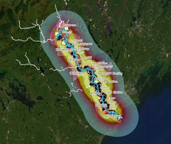
The Southern Maine Planning and Development Commission developed an interactive map showing the different types of point pollution sources and road crossings along the Saco River in Maine. Once opened, zoom in on the map and select “Content” on the left panel. Select and deselect the different parameters you wish to view.
Saco Watershed Water Quality Data
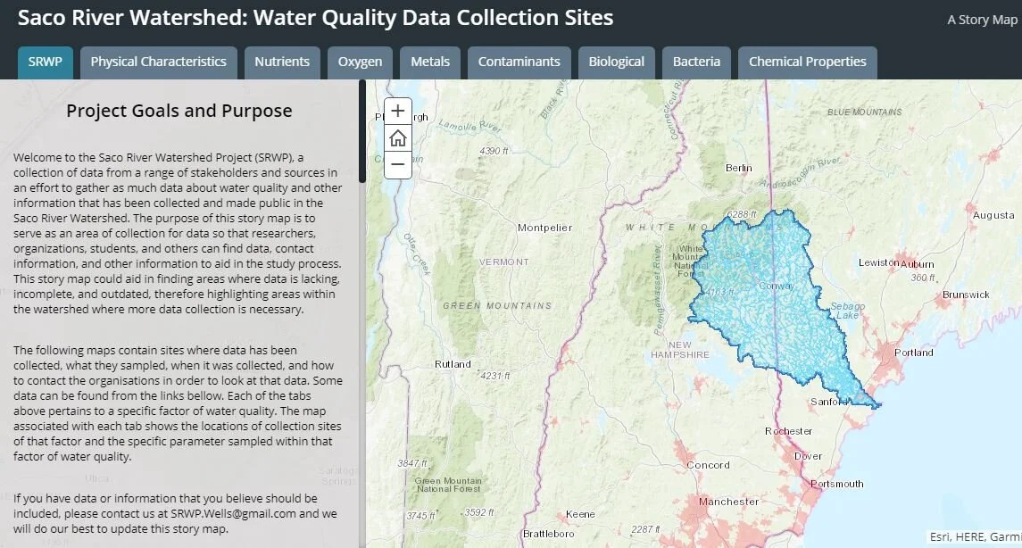
Compiled by University of New England graduate Kris Olson, the purpose of this StoryMap is to serve as an area of collection for data so that researchers, organizations, students, and others can find data, contact information, and other information to aid in the study process.